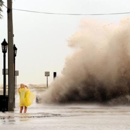
 The National Hurricane Center released its interactive storm surge map, which allows users to see how high the water could get in their own backyards during a hurricane.
About 40 percent of all Floridians risk storm surge, according to the center. They estimate approximately 22 million people are vulnerable to the abnormal rise of water caused by a storm, in the United States.
The map, comprised of calculations and historical data from the National Weather Service, allows users to see where the water will flood and how it will rise as the storm strengthens.
The Hurricane Center said it hopes the new tool is used for education and awareness for those who live in high risk areas.
“You don’t have to think very hard about it, just look at your location on the national map to find out if you are in an area at risk for storm surge from a future tropical storm or hurricane,” Hurricane Center storm specialist Brian Zachry said.
Source: Palm Beach Post


